

Learn about the role of a surveyor in resolving boundary issues, and how they can provide evidence to settle property boundary disagreements.
When to Involve a Surveyor
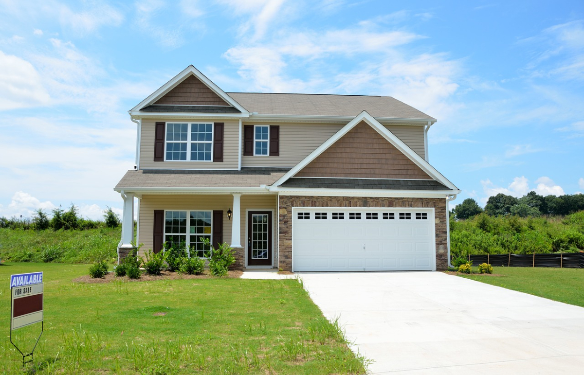
Boundary issues can be stressful and expensive, and they can damage your relationship with your neighbour if the issue isn't managed properly. One of the most effective ways to resolve a dispute is to involve a professional surveyor, but knowing when to call one is just as important as the role they play in resolving the matter.
A surveyor should be contacted early on if there's any uncertainty regarding the exact position of a property's boundary. Title deeds and Land Registry plans tend to provide a general outline, which often leaves room for interpretation. If you and your neighbour disagree on where the boundary line is, a surveyor can measure and produce a clear plan that establishes the boundary line based on the available evidence.
Assessing and Measuring Property Boundaries
Boundary issues are one of the biggest reasons for neighbourly disputes in the UK. Whether they're caused by unclear title deeds, misplaced fences, or new extensions, disagreements over where one property ends and another begins can escalate quickly. In these situations, property surveyors can resolve the issue by professionally assessing and measuring your property boundaries.
The starting point for a surveyor is to review all the available documents, including the title deeds, Land Registry plans, and historical records. These documents often provide the legal framework for where a boundary should lie, but they can also be vague or contradictory.
A surveyor will use this information as the foundation for their investigation, while also considering physical evidence such as hedgerows, walls or long-standing fences.
Surveyors will use specialist equipment and techniques to accurately plot the boundary lines and compare them against the legal descriptions. This eliminates any ambiguity and provides a clear, objective picture of the property's layout.
After this, the surveyor can then produce a detailed plan or report, which can be shared with both parties to support fair and informed discussions.
Reviewing Property Deeds and Plans
Property surveyors play a crucial role in resolving boundary issues since they carefully review the legal and historical documents that define a property's boundary line and ownership. These legal documents usually contain written descriptions of the land, including boundary details, dimensions, and references to physical features such as hedges, walls, or streams.
However, older deeds can be ambiguous and use phrases like “to the oak tree” or “along the brook,” which may no longer correspond to today’s landscape. A surveyor will assess these descriptions in context and consider how they align with the land's current conditions.
Alongside the deeds, surveyors will also review the Land Registry title plans. These plans provide a visual outline of the property, but they are not always 100% accurate. A surveyor will compare these plans with the written deed descriptions and any available historical records in order to find any discrepancies or uncertainties.
This process often involves cross-referencing multiple sources, such as conveyancing documents, historic Ordnance Survey maps, or previous surveys. By piecing together this information, the surveyor builds a detailed picture of where the true boundary line is.
Providing Expert Reports and Evidence
Boundary disputes can be difficult to resolve without the input of a property surveyor. These professionals can assess and measure boundaries and provide expert reports and evidence. These reports are often the key to clarifying disagreements, supporting negotiations, and, if necessary, presenting a strong case in legal proceedings.
A boundary report is a formal document that typically includes a review of the title deeds, Land Registry plans, and any relevant historical documents, alongside physical inspections of the property and the surrounding land.
The report also provides an unbiased analysis of where the boundary line most likely is, which is supported by both documentary and physical evidence.
Surveyors often include precise measurements, detailed plans or drawings, and photographic evidence of existing boundary features in their reports. These elements give the report a clear, visual dimension that helps both homeowners and legal professionals understand the situation.
Additionally, the report may also include inconsistencies between the legal descriptions and the land's current conditions in order to provide explanations for their conclusions.
At Kent Property Witness, we provide expert boundary dispute surveyor services to help homeowners resolve unclear property lines, shared access, or encroachment issues. Our professional surveys, clear reports, and practical advice can help you protect your property rights.